UAVs allow for surveying and mapping possibilities that are unachievable using full size aircraft or traditional surveying techniques. Our fleet of bespoke UAV platforms range from internal inspection drones that can fit in the palm of a hand to heavy lift platforms with a 6-foot wingspan, allowing data collection to be conducted in almost any environment.
Get in touch with us today to discuss your next project and get a free quote.
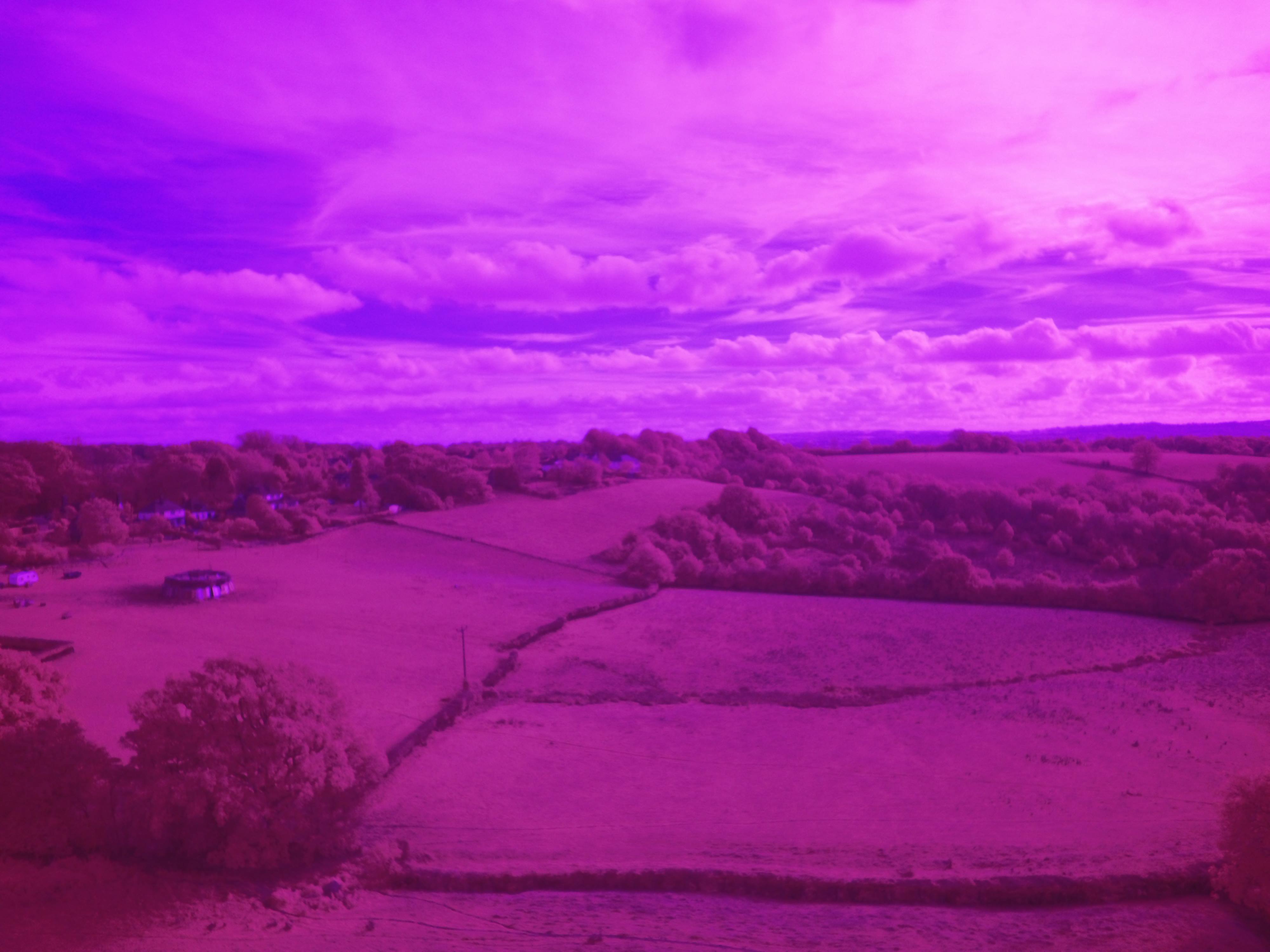
FlyThru uses near infrared (NIR) cameras on bespoke fixed wings platforms for a range of uses. NIR cameras detect light from a very specific range of the electromagnetic spectrum. As only some of this light will be absorbed when striking vegetation, NIR detecting cameras can be used to classify vegetation and non-vegetation, as well as being able to measure the relative health of crops and plants.
Collected data can be manipulated to produce normalised difference vegetation index (NDVI) outputs which describes vegetation density and crop health. It is therefore a great tool for the agriculture industry to monitor growth speeds and detect areas of crop that are diseased or require fertiliser.
When NIR data detects relative changes in plant growth or disease, it can often act as an indicator not only about the vegetation but the condition of the ground underneath. For example, if something has been buried in a field causing the topsoil to be disturbed, the redistribution of nutrients in the soil will affect the plant growth and will show up in NIR surveys.
Likewise, if an item such as corroding metal has been buried, the associated change in plant growth can indicate where the item could be located. FlyThru has experience in this technology conducting agricultural crop health surveys, engineering surveys e.g. for locating pipelines, and for forensic testing in conjunction with UK security services.