UAVs allow for surveying and mapping possibilities that are unachievable using full size aircraft or traditional surveying techniques. Our fleet of bespoke UAV platforms range from internal inspection drones that can fit in the palm of a hand to heavy lift platforms with a 6-foot wingspan, allowing data collection to be conducted in almost any environment.
Get in touch with us today to discuss your next project and get a free quote.
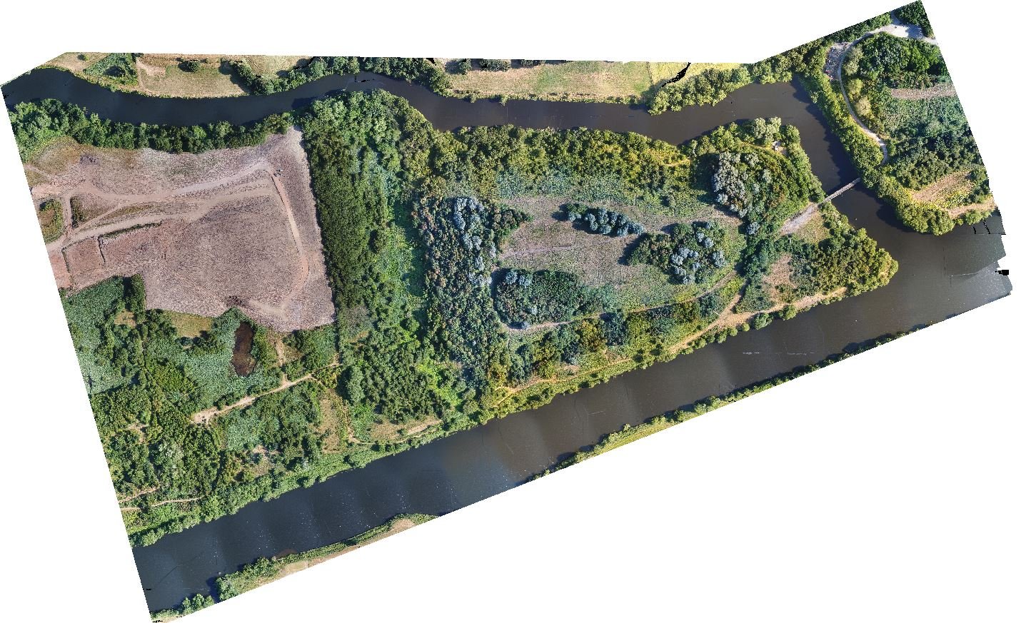
By stitching together geometrically corrected aerial images, FlyThru provides accurate 2D orthomosaic maps. This technique allows both visually correct photomosaic maps and contour maps to quickly be created with sub 10 mm accuracy. Using UAVs to gather the aerial imagery required for detailed mapping has many benefits over using traditional techniques, including:
- Increased safety (Remote operations)
- Speed (x50 faster)
- Higher resolution (1000-2000 points per square meter)
This type of mapping can be used over large and small areas, with a recent large example being where the team captured an area of moor >2800 Ha at 15 mm resolution and <5 cm accuracy in just two days of flying.
FlyThru has worked in a range of industries to provide clients with 2D orthomosaic maps, including:
- Agriculture
- Crime forensics surveys
- Land / terrain surveys
- Flood risk management