3D Model of Roof
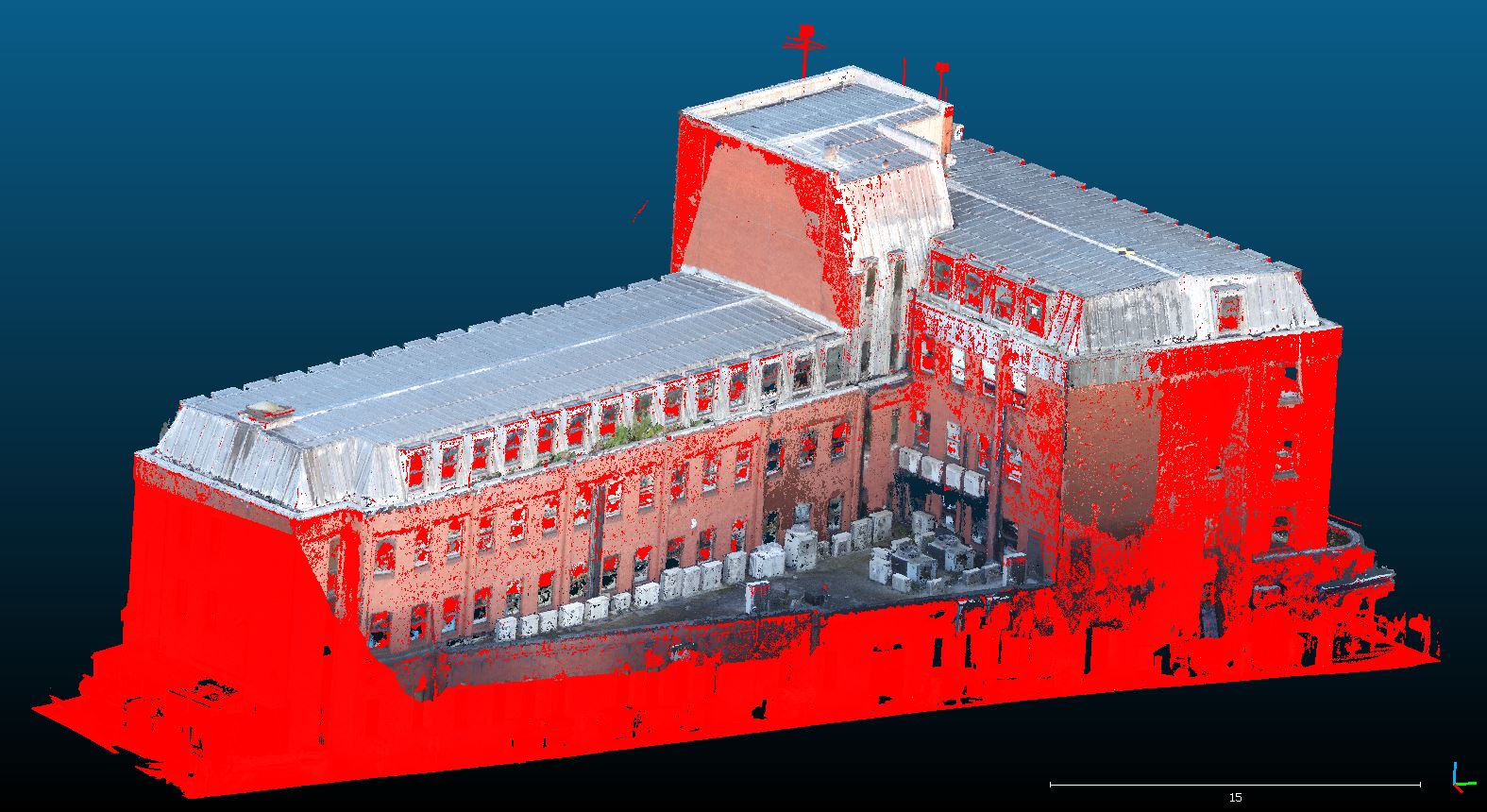
 In the autumn of 2017, FlyThru was tasked with the inspection of a metal lined roof. In order to minimise the risk to engineers from working at height, it was decided that a 3D model of the roof should be created using aerial footage taken using a drone which could then be inspected instead of the roof itself. In the image to the right, the location and angle of taken photos can be seen. This project required the merging of several datasets – models can also be created using imagery from different cameras or with a combination of terrestrial and aerial data.

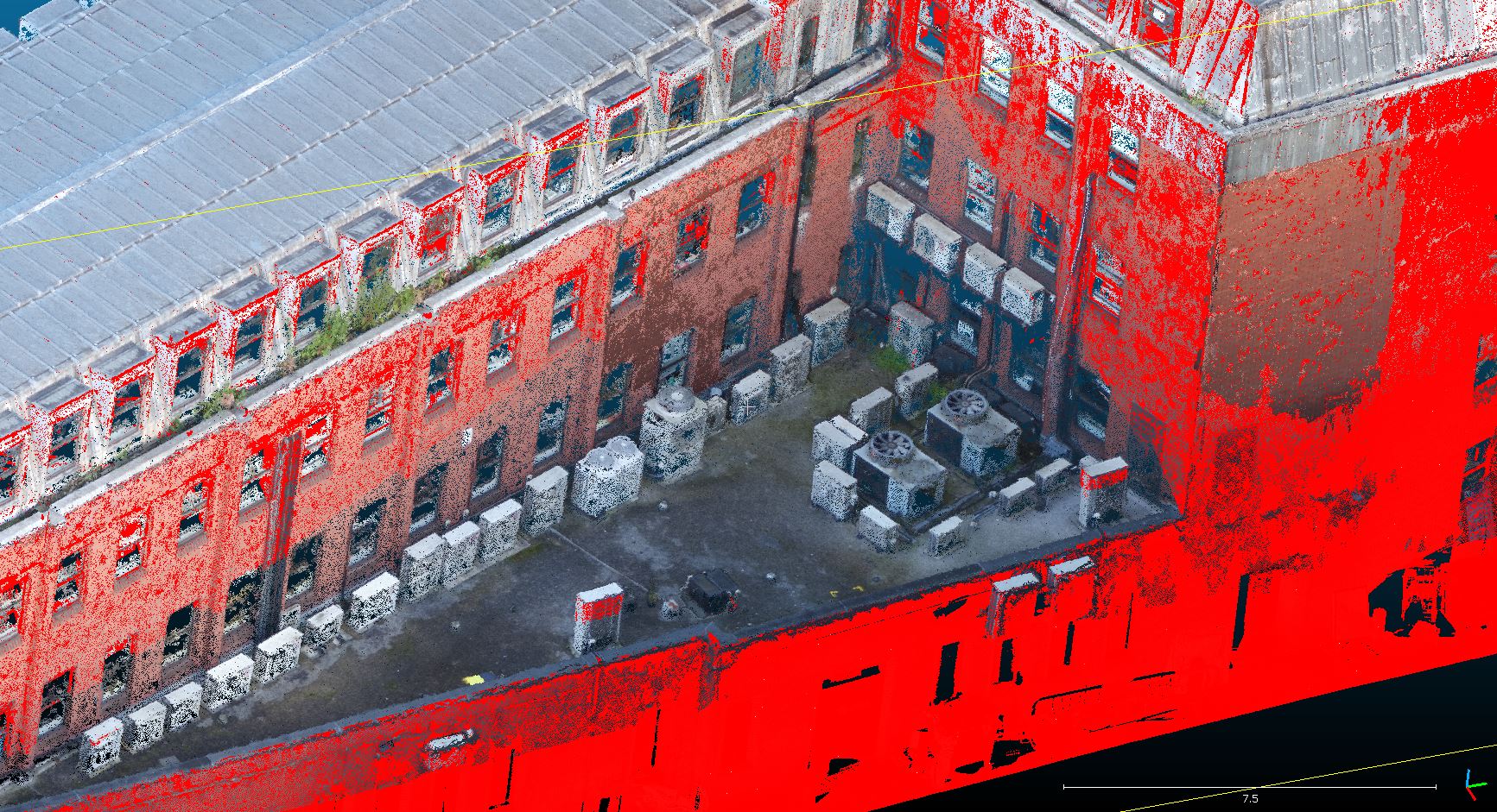
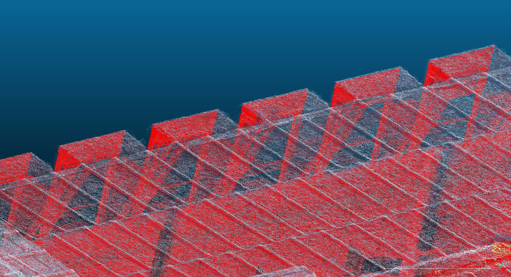
This project required the use of photogrammetry to produce visually and dimensionally correct 3 dimensional models. To create a model to the highest degree of accuracy possible, imagery was captured both looking vertically downwards (nadir) as well as at the side of the roof at an angle (oblique). Using data from several flights, hundreds of photographs could then be combined to create a rendered model.

Photogrammetry without the correct post processing is however only accurate to more than a couple of centimeters. This is often insufficient from which to conduct detailed engineering infrastructure inspections and so further work needed to be conducted. Models have accuracy in two different fields: relative, internal accuracy and global, overall accuracy.
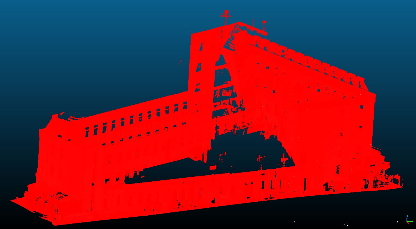
 To tie the produced models into the real world, i.e. increase global accuracy, ground control points were added to the model. For this project, it entailed laying out unobtrusive targets onto the safely accessible sections of the roof as well as onto the lower roofs and the ground around the survey site. The targets were then measured using traditional means by our expert colleagues from Geoterra and produced greater accuracy in the sections of the roof that could not be surveyed using standard tripods. Multiple ground control points can also increase the overall internal accuracy to sub 20 mm of the model so that measurements of dimensions and visual inspections can be accurately taken from the model itself. The model was then tied in to a laser scan of the building taken from the ground, proving the accuracy of the additional photogrammetry model.